Sedimentation study of the Laloki River Catchment
Alluvium assessed erosion and sedimentation across the Laloki catchment to support targeted management that protects Port Moresby’s water supply and guides sustainable land use.
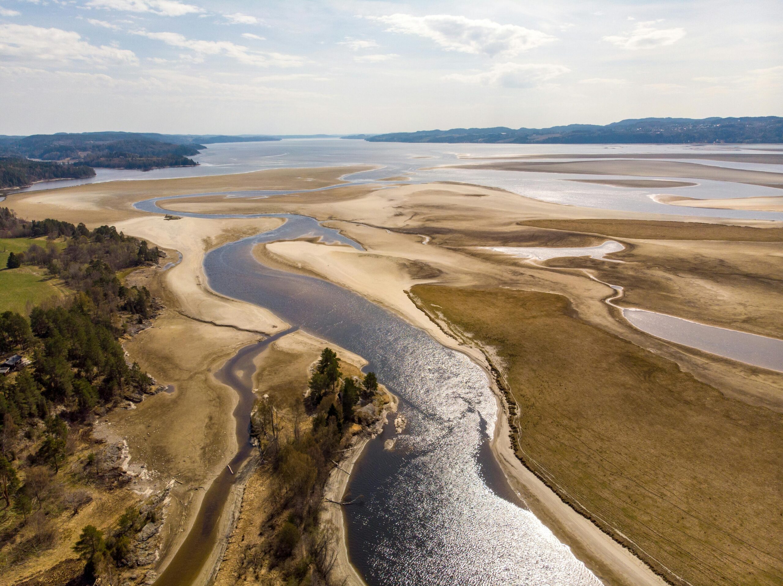
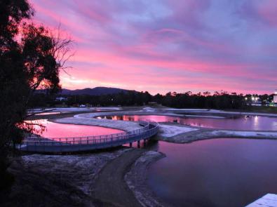
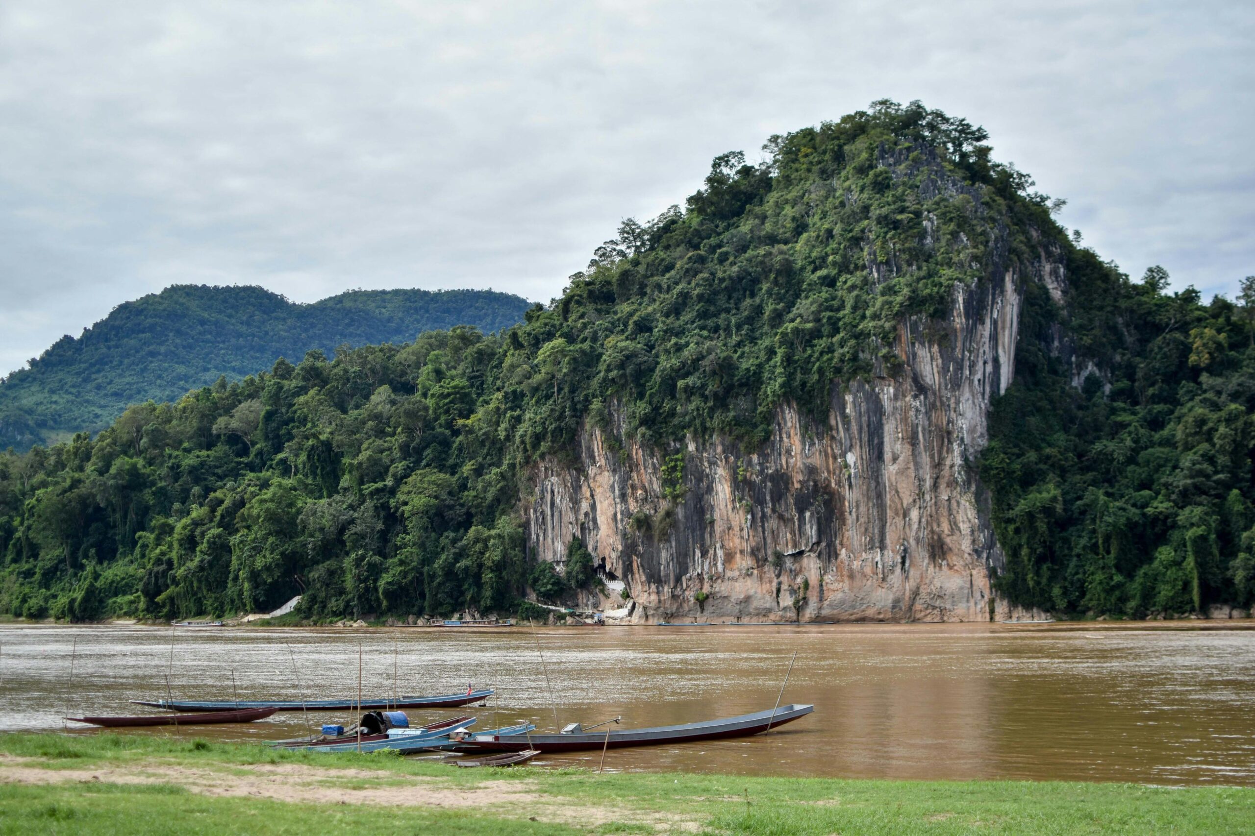
In response to increasing sedimentation in hydroelectric retention ponds along the Laloki River, which is attributed to land use intensification on the Sogeri Plateau, this project assessed the drivers of erosion and sediment transport in the catchment. Sedimentation in the Sirinumu reservoir, the main domestic water supply for Port Moresby, has led to more frequent and costly desilting efforts, highlighting the need for evidence-based land and water management strategies.
Alluvium was engaged to assess sediment generation and transport processes across the Laloki River catchment. The project included detailed hydrological analysis, fluvial geomorphology assessments, and sediment transport modelling to understand how land use is influencing erosion dynamics. Bathymetric surveys and water quality assessments were also undertaken to evaluate the reservoir’s current state and future risk.
Using these insights, Alluvium developed targeted management arrangements aimed at reducing sediment inflows to the Sirinumu reservoir, supporting long-term water security for Port Moresby and informing land use planning on the Sogeri Plateau.